
 |
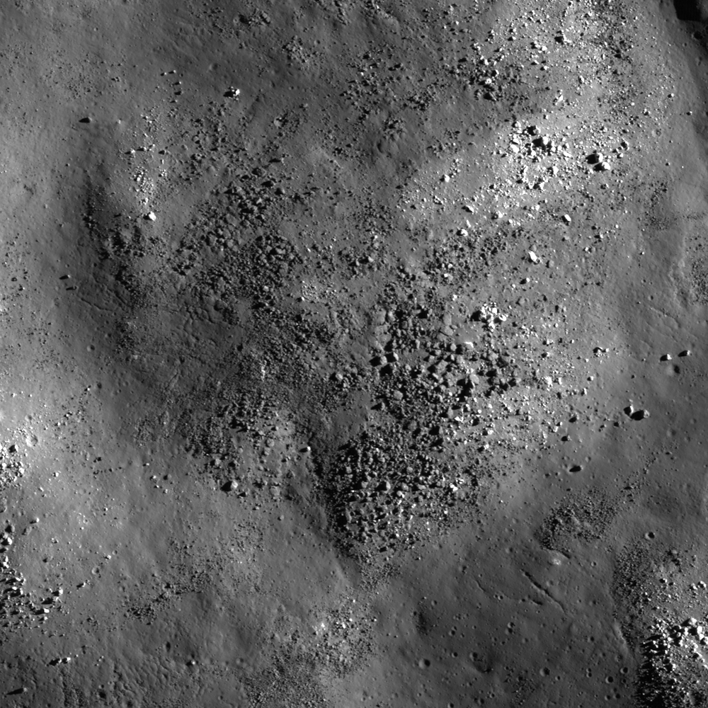
| Knobby surface of Rutherfurd crater floor, 1050 meter-wide LROC NAC field of view centered on 61.340°S, 348.085°E, NAC M1123653329R, spacecraft orbit 17669, May 20, 2013; incidence angle 81° from 50.83 km [NASA/GSFC/Arizona State University]. |

LROC News System
Today's Featured Image highlights a bumpy hill adjacent to a large melt pool (now frozen to solid rock) inside Rutherfurd crater (48 km in diameter). As seen in the WAC context image below, the floor is mostly littered with materials that collapsed and slumped from the crater wall, and with impact melts filling the topographic lows.
Uphill is to the left of the image, here you can see a wrinkled/fractured surface, likely formed as a thin rigid sheet of frozen melt. Over time this melt rock slowly broke apart -- the source of other boulders. The boulders slowly migrate downhill, breaking themselves apart, a form of mass wasting similar to that seen on Earth. However there is a big difference, almost all the energy on the Moon is provided by a continual rain of small meteorites, whereas on the Earth erosion is driven by plate motion induced earthquakes, and weathering.
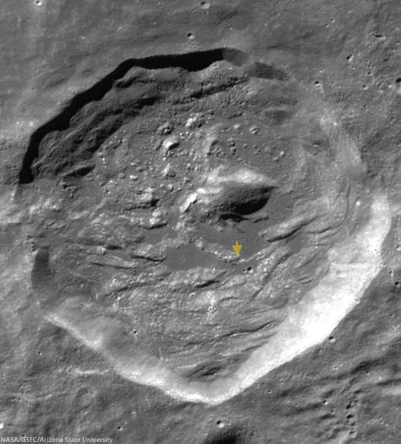 |
| 49.98 km Rutherfurd crater (61.15°S, 346.278°E), nested on the rim of more famed, much wider and older Clavius, in the nearside southern highlands. The area captured at high-resolution and released as the LROC Featured Image, January 28, 2014, is marked with an arrow. LROC WAC global mosaic [NASA/GSFC/Arizona State University]. |
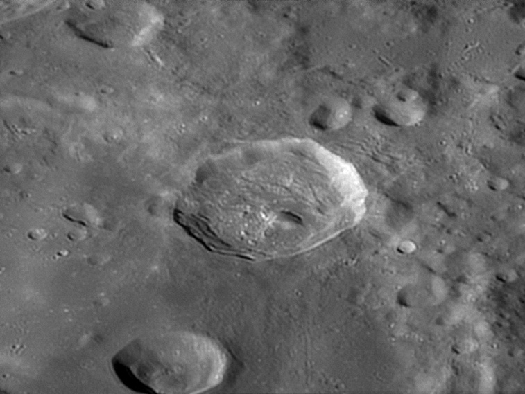 |
| Rutherfurd as viewed from Earth by experienced astrophotographer Damian Peach, November 20, 2005. "Rutherfurd is located entirely within the southern rim of much larger Clavius," he writes. "Rutherfurd is somewhat oval in shape, with the long axis oriented approximately in a north-south direction. The rim is overlaying the inner wall of Clavius, and thus the rim of Rutherfurd is higher above the surface along the north and west sides. The floor is irregular in shape, and there is a central peak somewhat offset to the northeast. The ejecta pattern; oblong shape, and location of the central peak indicate the original impact may have been at a low angle from the southeast [Damian Peach]. |
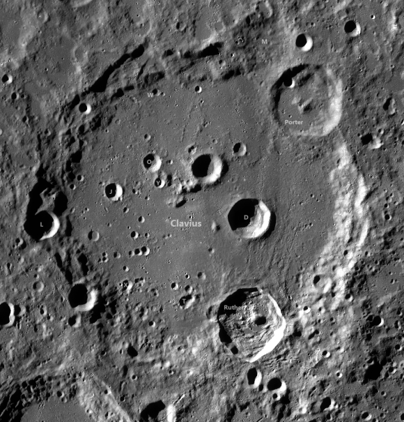 |
| 49.98 km Rutherfurd (61.15°S, 346.278°E), nested on the southeastern rim of more famed, much wider and older Clavius, in the nearside Southern Highlands. The area captured at high-resolution and released as the LROC Featured Image, January 28, 2014, is marked with an arrow. LROC WAC global mosaic [NASA/GSFC/Arizona State University]. |
Related Posts:
Central Peak of Rutherfurd
Rough Crater Wall Surface
Sinuous Cracks
View From The Other Side
Cracked mound
A beautiful bench crater (Rutherfurd)
No comments:
Post a Comment